
东兴街道 topographic map
Interactive map
Click on the map to display elevation.
About this map
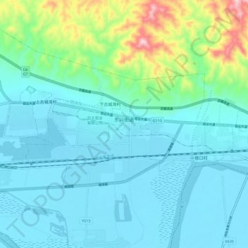
Name: 东兴街道 topographic map, elevation, terrain.
Location: 东兴街道, 东河区, 包头市, 内蒙古自治区, 014000, 中国 (40.55181 110.08763 40.57771 110.19786)
Average elevation: 3,540 ft
Minimum elevation: 3,268 ft
Maximum elevation: 4,823 ft
Other topographic maps
Click on a map to view its topography, its elevation and its terrain.