
Sork Ale topographic map
Interactive map
Click on the map to display elevation.
About this map
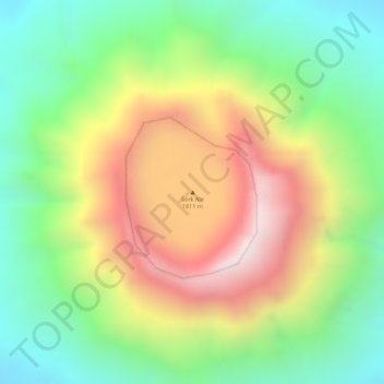
Name: Sork Ale topographic map, elevation, terrain.
Location: Sork Ale, Zone 2, Afar, Äthiopien (13.18539 41.72365 13.18549 41.72375)
Average elevation: 3,875 ft
Minimum elevation: 2,779 ft
Maximum elevation: 5,220 ft
Other topographic maps
Click on a map to view its topography, its elevation and its terrain.