
Dama Ali topographic map
Interactive map
Click on the map to display elevation.
About this map
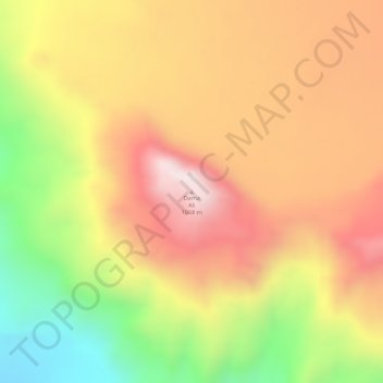
Name: Dama Ali topographic map, elevation, terrain.
Location: Dama Ali, Zone 1, Afar, Äthiopien (11.26388 41.62046 11.26398 41.62056)
Average elevation: 2,677 ft
Minimum elevation: 1,624 ft
Maximum elevation: 3,419 ft
Other topographic maps
Click on a map to view its topography, its elevation and its terrain.