
Ma Alalta topographic map
Interactive map
Click on the map to display elevation.
About this map
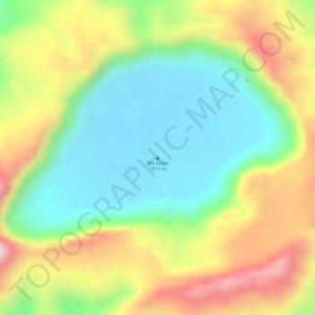
Name: Ma Alalta topographic map, elevation, terrain.
Location: Ma Alalta, Zone 2, Afar, Äthiopien (13.01916 40.20211 13.01926 40.20221)
Average elevation: 4,521 ft
Minimum elevation: 4,039 ft
Maximum elevation: 5,154 ft
Other topographic maps
Click on a map to view its topography, its elevation and its terrain.