
Gada Ale topographic map
Interactive map
Click on the map to display elevation.
About this map
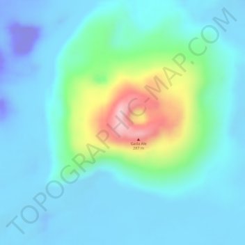
Name: Gada Ale topographic map, elevation, terrain.
Location: Gada Ale, Zone 2, Afar, Äthiopien (13.97465 40.41021 13.97475 40.41031)
Average elevation: 98 ft
Minimum elevation: -394 ft
Maximum elevation: 810 ft
Other topographic maps
Click on a map to view its topography, its elevation and its terrain.