
Dofen topographic map
Interactive map
Click on the map to display elevation.
About this map
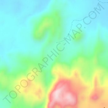
Name: Dofen topographic map, elevation, terrain.
Location: Dofen, Zone 3, Afar, Äthiopien (9.36186 40.11937 9.36196 40.11947)
Average elevation: 2,805 ft
Minimum elevation: 2,411 ft
Maximum elevation: 3,602 ft
Other topographic maps
Click on a map to view its topography, its elevation and its terrain.