
Mount Yangudi topographic map
Interactive map
Click on the map to display elevation.
About this map
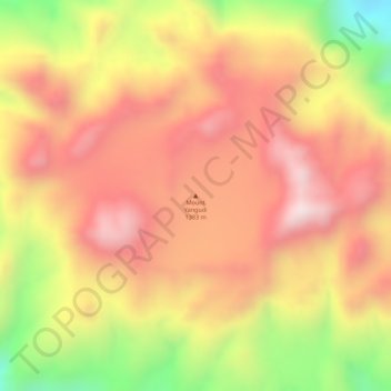
Name: Mount Yangudi topographic map, elevation, terrain.
Location: Mount Yangudi, Zone 3, Afar, Äthiopien (10.58684 41.03483 10.58694 41.03493)
Average elevation: 3,865 ft
Minimum elevation: 2,792 ft
Maximum elevation: 4,485 ft
Other topographic maps
Click on a map to view its topography, its elevation and its terrain.