
后七棵树 topographic map
Interactive map
Click on the map to display elevation.
About this map
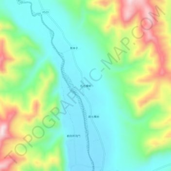
Name: 后七棵树 topographic map, elevation, terrain.
Location: 后七棵树, 围场满族蒙古族自治县, 承德市, 河北省, 中国 (41.85292 116.97681 41.89292 117.01681)
Average elevation: 3,615 ft
Minimum elevation: 3,182 ft
Maximum elevation: 4,491 ft
Other topographic maps
Click on a map to view its topography, its elevation and its terrain.