
下伙房乡 topographic map
Interactive map
Click on the map to display elevation.
About this map
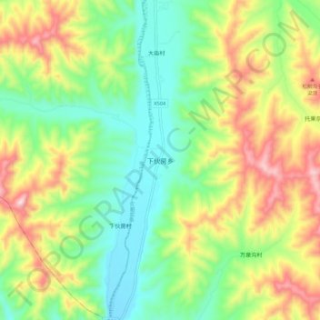
Name: 下伙房乡 topographic map, elevation, terrain.
Location: 下伙房乡, 承德市, 河北省, 中国 (41.79981 117.42674 41.87981 117.50674)
Average elevation: 3,373 ft
Minimum elevation: 2,736 ft
Maximum elevation: 4,396 ft
Other topographic maps
Click on a map to view its topography, its elevation and its terrain.