
西地满族乡 topographic map
Interactive map
Click on the map to display elevation.
About this map
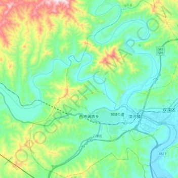
Name: 西地满族乡 topographic map, elevation, terrain.
Location: 西地满族乡, 双滦区, 承德市, 河北省, 中国 (40.89914 117.62906 41.04770 117.79672)
Average elevation: 1,716 ft
Minimum elevation: 1,129 ft
Maximum elevation: 3,478 ft
Other topographic maps
Click on a map to view its topography, its elevation and its terrain.