
瓦丘 topographic map
Interactive map
Click on the map to display elevation.
About this map
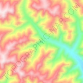
Name: 瓦丘 topographic map, elevation, terrain.
Location: 瓦丘, 卓尼县, 甘南藏族自治州, 甘肃省, 中国 (34.43935 102.92396 34.47935 102.96396)
Average elevation: 11,345 ft
Minimum elevation: 10,397 ft
Maximum elevation: 12,005 ft
Other topographic maps
Click on a map to view its topography, its elevation and its terrain.