
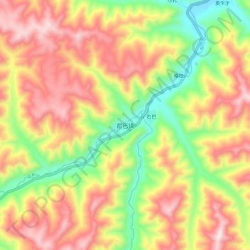
尼巴镇 topographic map
Interactive map
Click on the map to display elevation.
About this map
Name: 尼巴镇 topographic map, elevation, terrain.
Location: 尼巴镇, 卓尼县, 甘南藏族自治州, 甘肃省, 中国 (34.41643 103.04496 34.49643 103.12496)
Average elevation: 10,571 ft
Minimum elevation: 9,400 ft
Maximum elevation: 11,683 ft
Other topographic maps
Click on a map to view its topography, its elevation and its terrain.