
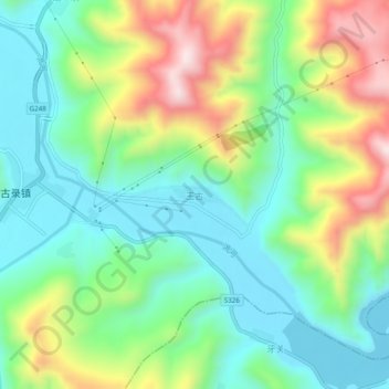
玉古 topographic map
Interactive map
Click on the map to display elevation.
About this map
Name: 玉古 topographic map, elevation, terrain.
Location: 玉古, 卓尼县, 甘南藏族自治州, 甘肃省, 中国 (34.63389 103.18699 34.67389 103.22699)
Average elevation: 9,334 ft
Minimum elevation: 8,757 ft
Maximum elevation: 10,476 ft
Other topographic maps
Click on a map to view its topography, its elevation and its terrain.