
卓尼县 topographic map
Interactive map
Click on the map to display elevation.
About this map
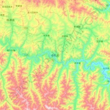
Name: 卓尼县 topographic map, elevation, terrain.
Location: 卓尼县, 甘南藏族自治州, 甘肃省, 中国 (34.43079 103.34845 34.75079 103.66845)
Average elevation: 9,682 ft
Minimum elevation: 7,966 ft
Maximum elevation: 12,293 ft
Other topographic maps
Click on a map to view its topography, its elevation and its terrain.