
彬州市 topographic map
Interactive map
Click on the map to display elevation.
About this map
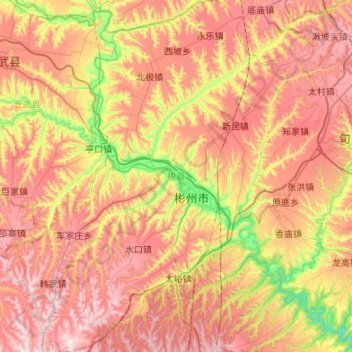
Name: 彬州市 topographic map, elevation, terrain.
Location: 彬州市, 咸阳市, 陕西省, 中国 (34.84245 107.81332 35.28219 108.35136)
Average elevation: 3,642 ft
Minimum elevation: 2,365 ft
Maximum elevation: 4,833 ft
Other topographic maps
Click on a map to view its topography, its elevation and its terrain.