
太平镇 topographic map
Interactive map
Click on the map to display elevation.
About this map
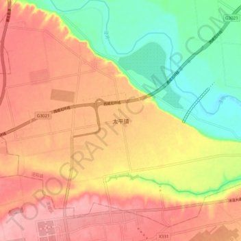
Name: 太平镇 topographic map, elevation, terrain.
Location: 太平镇, 咸阳市, 陕西省, 中国 (34.46407 108.69399 34.54407 108.77399)
Average elevation: 1,499 ft
Minimum elevation: 1,260 ft
Maximum elevation: 1,686 ft
Other topographic maps
Click on a map to view its topography, its elevation and its terrain.