
石潭镇 topographic map
Interactive map
Click on the map to display elevation.
About this map
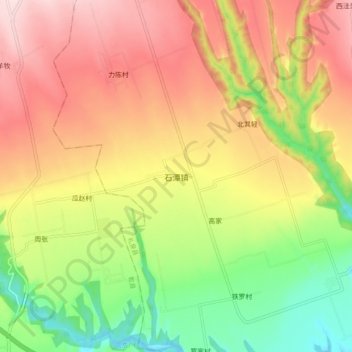
Name: 石潭镇 topographic map, elevation, terrain.
Location: 石潭镇, 咸阳市, 陕西省, 中国 (34.53485 108.31791 34.61485 108.39791)
Average elevation: 2,297 ft
Minimum elevation: 1,781 ft
Maximum elevation: 2,789 ft
Other topographic maps
Click on a map to view its topography, its elevation and its terrain.