
王桥镇 topographic map
Interactive map
Click on the map to display elevation.
About this map
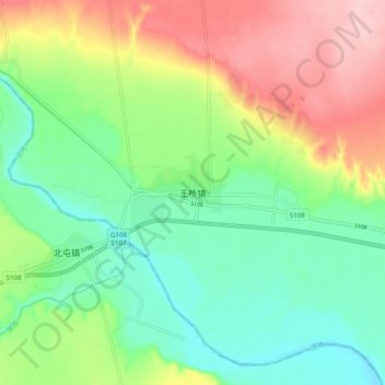
Name: 王桥镇 topographic map, elevation, terrain.
Location: 王桥镇, 咸阳市, 陕西省, 中国 (34.57394 108.60049 34.65394 108.68049)
Average elevation: 1,555 ft
Minimum elevation: 1,332 ft
Maximum elevation: 1,919 ft
Other topographic maps
Click on a map to view its topography, its elevation and its terrain.