Geolocate

Section topographic map

Click on the map to display elevation.

About this map

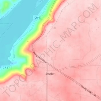
Name: Section topographic map, elevation, terrain.

Location: Section, Jackson County, Alabama, United States (34.56409 -86.00215 34.61872 -85.96705)

Average elevation: 1,145 ft

Minimum elevation: 577 ft

Maximum elevation: 1,398 ft

Jackson County trails, hiking, mountain biking, running and outdoor activities

Other topographic maps

Click on a map to view its topography, its elevation and its terrain.

Flat Rock

United States > Alabama > Jackson County

Average elevation: 1,385 ft

Section

United States > Alabama > Jackson County

Average elevation: 1,145 ft

Gear up for your next adventure:

🧥Waterproof Jacket for Hiking - Breathable and rugged rain jacket for outdoor excursions
🧭Map Reading Tools - Tools and kits for map navigation
⛑️Personal Locator Beacon - Safety beacon for emergencies
Camping Coffee Makers - Enjoy premium coffee at the summit or campsite
🔪Outdoor Multitools - Essential survival tools for gear repair and field use

As an Amazon Associate, this site earns from qualifying purchases at no extra cost to you.