
雅宅村 topographic map
Interactive map
Click on the map to display elevation.
About this map
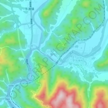
Name: 雅宅村 topographic map, elevation, terrain.
Location: 雅宅村, 丽水市, 浙江省, 中国 (28.58589 120.04684 28.62589 120.08684)
Average elevation: 764 ft
Minimum elevation: 407 ft
Maximum elevation: 1,946 ft
Other topographic maps
Click on a map to view its topography, its elevation and its terrain.