
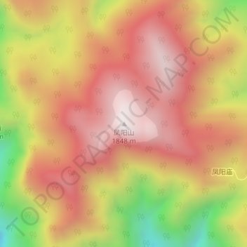
凤阳山 topographic map
Interactive map
Click on the map to display elevation.
About this map
Name: 凤阳山 topographic map, elevation, terrain.
Location: 凤阳山, 丽水市, 浙江省, 中国 (27.90065 119.15420 27.90075 119.15430)
Average elevation: 4,928 ft
Minimum elevation: 3,130 ft
Maximum elevation: 6,047 ft
Other topographic maps
Click on a map to view its topography, its elevation and its terrain.