
松阳县 topographic map
Interactive map
Click on the map to display elevation.
About this map
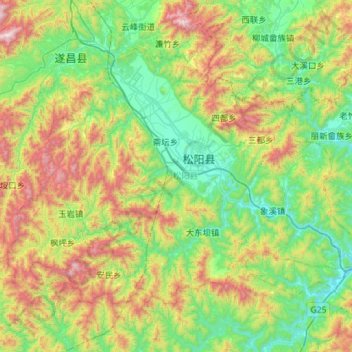
Name: 松阳县 topographic map, elevation, terrain.
Location: 松阳县, 丽水市, 浙江省, 中国 (28.24161 119.16497 28.60810 119.73530)
Average elevation: 1,742 ft
Minimum elevation: 220 ft
Maximum elevation: 5,269 ft
Other topographic maps
Click on a map to view its topography, its elevation and its terrain.