
南溪村 topographic map
Interactive map
Click on the map to display elevation.
About this map
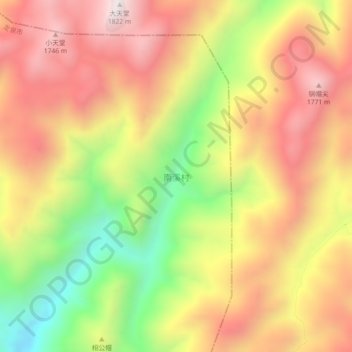
Name: 南溪村 topographic map, elevation, terrain.
Location: 南溪村, 丽水市, 浙江省, 中国 (27.77107 119.14517 27.81107 119.18517)
Average elevation: 4,616 ft
Minimum elevation: 2,881 ft
Maximum elevation: 6,007 ft
Other topographic maps
Click on a map to view its topography, its elevation and its terrain.