Geolocate

Iritty topographic map

Click on the map to display elevation.

About this map

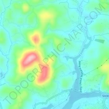
Name: Iritty topographic map, elevation, terrain.

Location: Iritty, Kannur District, Kerala, India, Alapra (11.98925 75.65260 12.02064 75.67144)

Average elevation: 213 ft

Minimum elevation: 75 ft

Maximum elevation: 656 ft

Other topographic maps

Click on a map to view its topography, its elevation and its terrain.

Aralam

India > Kerala > Iritty

Average elevation: 220 ft

Kanichar

India > Kerala > Iritty

Average elevation: 344 ft

Peratta

India > Kerala > Iritty

Average elevation: 466 ft

Kakkayangad

India > Kerala > Iritty

Average elevation: 308 ft

Chavassery

India > Kerala > Iritty

Average elevation: 233 ft

Chungakkunnu

India > Kerala > Iritty

Average elevation: 630 ft

Angadikadavu

India > Kerala > Iritty

Average elevation: 315 ft

Blathur

India > Kerala > Iritty

Average elevation: 430 ft

Edoor

India > Kerala > Iritty

Average elevation: 210 ft

Kakkayangad

India > Kerala > Iritty

Average elevation: 308 ft

Kolakkad

India > Kerala > Iritty > Kolakkad

Average elevation: 630 ft

Aralam

India > Kerala > Iritty > Iritty

Average elevation: 282 ft

Peravoor

India > Kerala > Iritty

Average elevation: 348 ft

Iritty

India > Kerala > Iritty

Average elevation: 213 ft

Aralam WLS

India > Kerala > Iritty > Adakkathodu

Average elevation: 1,516 ft

Iritty

India > Kerala > Iritty

Average elevation: 213 ft

Gear up for your next adventure:

🖼️Topo Map Wall Art - Decorative topographic prints of famous peaks and regions
🥇GPS Hiking Watch - Multi‑sport GPS watch with navigation and trail tracking
⛑️Personal Locator Beacon - Safety beacon for emergencies
😴Insulated Sleeping Pads - Compact and warm pads for high-elevation camping
🛠️Backpacking Tool Kit - Essential toolkit for outdoor repairs

As an Amazon Associate, this site earns from qualifying purchases at no extra cost to you.