
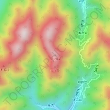
苏洲坞 topographic map
Interactive map
Click on the map to display elevation.
About this map
Name: 苏洲坞 topographic map, elevation, terrain.
Location: 苏洲坞, 衢州市, 浙江省, 中国 (28.48449 118.67502 28.48459 118.67512)
Average elevation: 2,762 ft
Minimum elevation: 1,765 ft
Maximum elevation: 3,806 ft
Other topographic maps
Click on a map to view its topography, its elevation and its terrain.