
富川村 topographic map
Interactive map
Click on the map to display elevation.
About this map
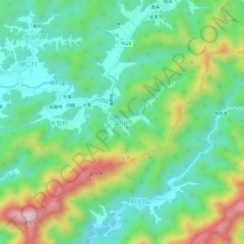
Name: 富川村 topographic map, elevation, terrain.
Location: 富川村, 衢州市, 浙江省, 中国 (29.31691 118.47886 29.35691 118.51886)
Average elevation: 1,201 ft
Minimum elevation: 719 ft
Maximum elevation: 2,218 ft
Other topographic maps
Click on a map to view its topography, its elevation and its terrain.