
天台山 topographic map
Interactive map
Click on the map to display elevation.
About this map
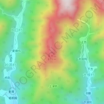
Name: 天台山 topographic map, elevation, terrain.
Location: 天台山, 衢州市, 浙江省, 中国 (29.11450 118.82190 29.11460 118.82200)
Average elevation: 1,699 ft
Minimum elevation: 801 ft
Maximum elevation: 3,163 ft
Other topographic maps
Click on a map to view its topography, its elevation and its terrain.