
黄岗山 topographic map
Interactive map
Click on the map to display elevation.
About this map
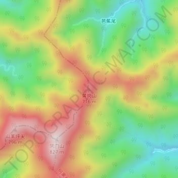
Name: 黄岗山 topographic map, elevation, terrain.
Location: 黄岗山, 衢州市, 浙江省, 中国 (28.94250 118.35493 28.94260 118.35503)
Average elevation: 1,506 ft
Minimum elevation: 594 ft
Maximum elevation: 2,552 ft
Other topographic maps
Click on a map to view its topography, its elevation and its terrain.