
硕督镇 topographic map
Interactive map
Click on the map to display elevation.
About this map
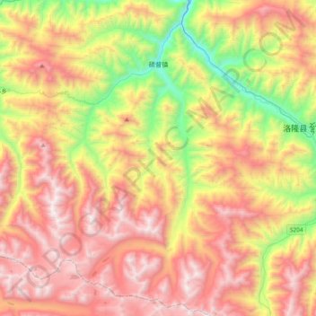
Name: 硕督镇 topographic map, elevation, terrain.
Location: 硕督镇, 洛隆县, 昌都市, 西藏自治区, 中国 (30.55177 95.51149 30.87250 95.74993)
Average elevation: 14,547 ft
Minimum elevation: 11,188 ft
Maximum elevation: 17,802 ft
Other topographic maps
Click on a map to view its topography, its elevation and its terrain.