
孜托镇 topographic map
Interactive map
Click on the map to display elevation.
About this map
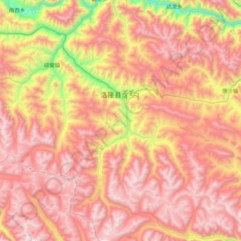
Name: 孜托镇 topographic map, elevation, terrain.
Location: 孜托镇, 洛隆县, 昌都市, 西藏自治区, 中国 (30.41743 95.67359 30.94989 96.02847)
Average elevation: 14,823 ft
Minimum elevation: 10,495 ft
Maximum elevation: 18,136 ft
Other topographic maps
Click on a map to view its topography, its elevation and its terrain.