
腊久乡 topographic map
Interactive map
Click on the map to display elevation.
About this map
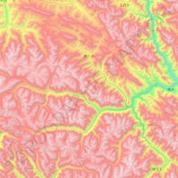
Name: 腊久乡 topographic map, elevation, terrain.
Location: 腊久乡, 洛隆县, 昌都市, 西藏自治区, 中国 (30.19765 95.77596 30.67853 96.47074)
Average elevation: 15,154 ft
Minimum elevation: 10,135 ft
Maximum elevation: 18,386 ft
Other topographic maps
Click on a map to view its topography, its elevation and its terrain.