
玉西乡 topographic map
Interactive map
Click on the map to display elevation.
About this map
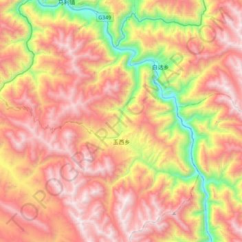
Name: 玉西乡 topographic map, elevation, terrain.
Location: 玉西乡, 洛隆县, 昌都市, 西藏自治区, 中国 (30.60833 96.18600 30.88317 96.40600)
Average elevation: 14,301 ft
Minimum elevation: 10,217 ft
Maximum elevation: 17,700 ft
Other topographic maps
Click on a map to view its topography, its elevation and its terrain.