
白达乡 topographic map
Interactive map
Click on the map to display elevation.
About this map
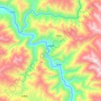
Name: 白达乡 topographic map, elevation, terrain.
Location: 白达乡, 洛隆县, 昌都市, 西藏自治区, 中国 (30.75309 96.29472 30.84610 96.49415)
Average elevation: 13,573 ft
Minimum elevation: 10,233 ft
Maximum elevation: 17,697 ft
Other topographic maps
Click on a map to view its topography, its elevation and its terrain.