
达龙乡 topographic map
Interactive map
Click on the map to display elevation.
About this map
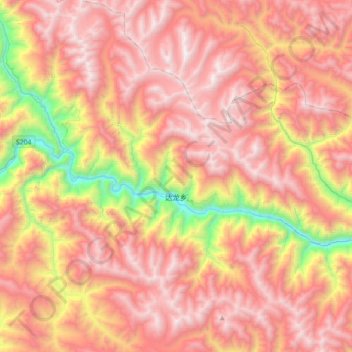
Name: 达龙乡 topographic map, elevation, terrain.
Location: 达龙乡, 洛隆县, 昌都市, 西藏自治区, 中国 (30.80269 95.85928 31.10844 96.19977)
Average elevation: 14,678 ft
Minimum elevation: 10,449 ft
Maximum elevation: 17,562 ft
Other topographic maps
Click on a map to view its topography, its elevation and its terrain.