
州河 topographic map
Interactive map
Click on the map to display elevation.
About this map
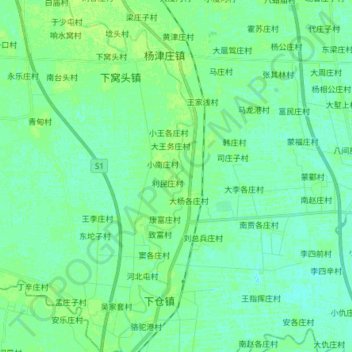
Name: 州河 topographic map, elevation, terrain.
Location: 州河, 蓟州区, 天津市, 中国 (39.77078 117.37725 39.88775 117.43171)
Average elevation: 23 ft
Minimum elevation: 7 ft
Maximum elevation: 39 ft
Other topographic maps
Click on a map to view its topography, its elevation and its terrain.