
许有庄村 topographic map
Interactive map
Click on the map to display elevation.
About this map
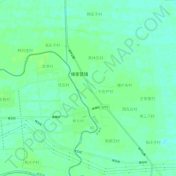
Name: 许有庄村 topographic map, elevation, terrain.
Location: 许有庄村, 蓟州区, 天津市, 中国 (39.83179 117.23100 39.87179 117.27100)
Average elevation: 30 ft
Minimum elevation: 13 ft
Maximum elevation: 43 ft
Other topographic maps
Click on a map to view its topography, its elevation and its terrain.