
下仓镇 topographic map
Interactive map
Click on the map to display elevation.
About this map
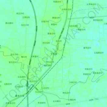
Name: 下仓镇 topographic map, elevation, terrain.
Location: 下仓镇, 蓟州区, 天津市, 中国 (39.74805 117.37704 39.82805 117.45704)
Average elevation: 20 ft
Minimum elevation: 7 ft
Maximum elevation: 36 ft
Other topographic maps
Click on a map to view its topography, its elevation and its terrain.