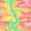
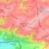
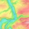
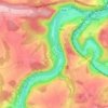
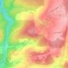
Jemelle topographic map
Click on the map to display elevation.
About this map

Name: Jemelle topographic map, elevation, terrain.
Location: Jemelle, Rochefort, Dinant, Namur, Wallonia, Belgium (50.13419 5.23065 50.17487 5.28400)
Average elevation: 810 ft
Minimum elevation: 564 ft
Maximum elevation: 1,211 ft
Other topographic maps
Click on a map to view its topography, its elevation and its terrain.