
北安市 topographic map
Interactive map
Click on the map to display elevation.
About this map
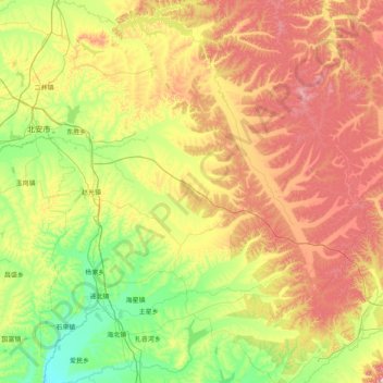
Name: 北安市 topographic map, elevation, terrain.
Location: 北安市, 黑河市, 黑龙江省, 164300, 中国 (47.58506 126.27805 48.53657 127.88836)
Average elevation: 1,063 ft
Minimum elevation: 574 ft
Maximum elevation: 2,018 ft
Other topographic maps
Click on a map to view its topography, its elevation and its terrain.