
马鞍山村 topographic map
Interactive map
Click on the map to display elevation.
About this map
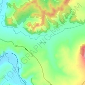
Name: 马鞍山村 topographic map, elevation, terrain.
Location: 马鞍山村, 林口县, 牡丹江市, 黑龙江省, 中国 (45.25775 130.32638 45.29775 130.36638)
Average elevation: 1,086 ft
Minimum elevation: 886 ft
Maximum elevation: 1,437 ft
Other topographic maps
Click on a map to view its topography, its elevation and its terrain.