
群胜乡 topographic map
Interactive map
Click on the map to display elevation.
About this map
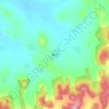
Name: 群胜乡 topographic map, elevation, terrain.
Location: 群胜乡, 郊区, 佳木斯市, 黑龙江省, 154000, 中国 (46.60810 130.10900 46.68810 130.18900)
Average elevation: 564 ft
Minimum elevation: 295 ft
Maximum elevation: 1,329 ft
Other topographic maps
Click on a map to view its topography, its elevation and its terrain.