
辛集市 topographic map
Interactive map
Click on the map to display elevation.
About this map
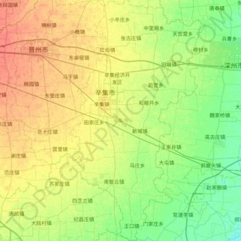
Name: 辛集市 topographic map, elevation, terrain.
Location: 辛集市, 石家庄市, 河北省, 中国 (37.62821 115.11364 38.13530 115.47707)
Average elevation: 112 ft
Minimum elevation: 69 ft
Maximum elevation: 171 ft
Other topographic maps
Click on a map to view its topography, its elevation and its terrain.