
留营街道 topographic map
Interactive map
Click on the map to display elevation.
About this map
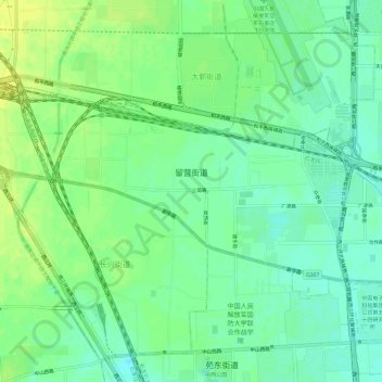
Name: 留营街道 topographic map, elevation, terrain.
Location: 留营街道, 桥西区, 石家庄市, 河北省, 中国 (38.04604 114.37066 38.07266 114.43043)
Average elevation: 285 ft
Minimum elevation: 256 ft
Maximum elevation: 315 ft
Other topographic maps
Click on a map to view its topography, its elevation and its terrain.