
洨河 topographic map
Interactive map
Click on the map to display elevation.
About this map
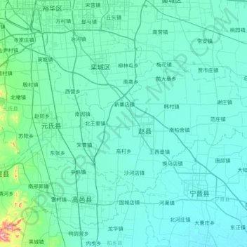
Name: 洨河 topographic map, elevation, terrain.
Location: 洨河, 赵县, 石家庄市, 河北省, 051530, 中国 (37.50432 114.40130 38.02170 115.03245)
Average elevation: 187 ft
Minimum elevation: 82 ft
Maximum elevation: 1,729 ft
Other topographic maps
Click on a map to view its topography, its elevation and its terrain.