
Elverum topographic map
Interactive map
Click on the map to display elevation.
About this map
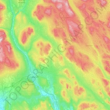
Name: Elverum topographic map, elevation, terrain.
Location: Elverum, Innlandet, Norway (60.74126 11.29895 61.20427 12.16109)
Average elevation: 1,335 ft
Minimum elevation: 502 ft
Maximum elevation: 2,776 ft
Other topographic maps
Click on a map to view its topography, its elevation and its terrain.