
陇山镇 topographic map
Interactive map
Click on the map to display elevation.
About this map
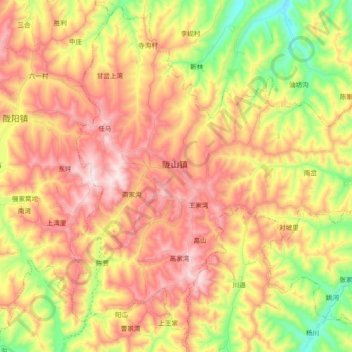
Name: 陇山镇 topographic map, elevation, terrain.
Location: 陇山镇, 通渭县, 定西市, 甘肃省, 中国 (35.18558 105.35599 35.33123 105.54025)
Average elevation: 6,378 ft
Minimum elevation: 5,404 ft
Maximum elevation: 7,254 ft
Other topographic maps
Click on a map to view its topography, its elevation and its terrain.