
义岗川镇 topographic map
Interactive map
Click on the map to display elevation.
About this map
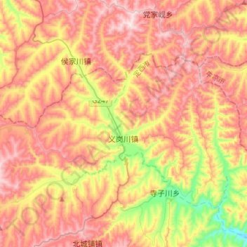
Name: 义岗川镇 topographic map, elevation, terrain.
Location: 义岗川镇, 通渭县, 定西市, 甘肃省, 中国 (35.38476 105.11451 35.49857 105.36053)
Average elevation: 6,581 ft
Minimum elevation: 5,499 ft
Maximum elevation: 7,457 ft
Other topographic maps
Click on a map to view its topography, its elevation and its terrain.