Geolocate

Regency Square topographic map

Click on the map to display elevation.

About this map

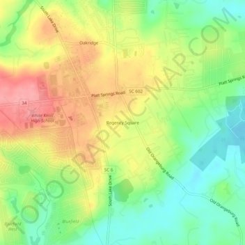
Name: Regency Square topographic map, elevation, terrain.

Location: Regency Square, Lexington County, South Carolina, 29073, United States (33.88376 -81.23649 33.92376 -81.19649)

Average elevation: 328 ft

Minimum elevation: 180 ft

Maximum elevation: 495 ft

Lexington County trails, hiking, mountain biking, running and outdoor activities

Other topographic maps

Click on a map to view its topography, its elevation and its terrain.

Cayce

United States > South Carolina > Lexington County

Average elevation: 210 ft

Swansea

United States > South Carolina > Lexington County

Average elevation: 384 ft

Pelion

United States > South Carolina > Lexington County

Average elevation: 420 ft

Gear up for your next adventure:

🛠️Outdoor Gear Repair Kit - Essential tools to fix gear on the trail
📦Dry Bags Set - Waterproof storage for electronics and clothes
🕶️GPS Smartphone Mount - Secure mount for phone navigation
🪑Ultralight Camp Chairs - Portable seating for resting after a long day of mapping
🪶Multi‑Purpose Knife - Useful blade for camp and trail

As an Amazon Associate, this site earns from qualifying purchases at no extra cost to you.