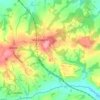
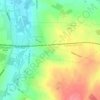
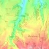
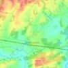
Chiddingstone topographic map
Click on the map to display elevation.
About this map

Name: Chiddingstone topographic map, elevation, terrain.
Location: Chiddingstone, Sevenoaks, Kent, England, United Kingdom (51.13943 0.11802 51.22942 0.18101)
Average elevation: 210 ft
Minimum elevation: 79 ft
Maximum elevation: 489 ft
Other topographic maps
Click on a map to view its topography, its elevation and its terrain.


Knatts Valley
United Kingdom > England > Kent > Sevenoaks > East Hill > Knockmill
Average elevation: 558 ft


Charcott
United Kingdom > England > Kent > Sevenoaks > Chiddingstone Causeway
Average elevation: 174 ft