
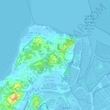
三角嶺 topographic map
Interactive map
Click on the map to display elevation.
About this map
Name: 三角嶺 topographic map, elevation, terrain.
Location: 三角嶺, 元朗區, 新界, 香港, 中国 (22.48222 114.00456 22.48232 114.00466)
Average elevation: 20 ft
Minimum elevation: -26 ft
Maximum elevation: 230 ft
Other topographic maps
Click on a map to view its topography, its elevation and its terrain.